


Dynastic History | Bishapur — The City That Dated Itself by Two Fires
· 266
Personal memoryBy kevin · · Report an issue



































































Find memories left by people near you.
Distribute Bounty
This will distribute the bounty equally among all qualifying memories. This action cannot be undone.
Cancel Bounty
Are you sure you want to cancel this bounty? The remaining amount will be refunded to your account.
Success!
Operation completed successfully.
Error
Something went wrong.
Dynastic History | Bishapur — The City That Dated Itself by Two Fires
kevin
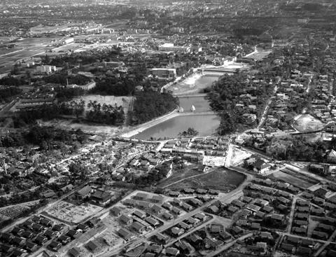
Shapur I laid out Bishapur on the Shāpur river in western Fars, on a rectangular street grid whose northern edge bends where the river forced it. At the main crossing stand two stone columns. One carries a bilingual inscription in Middle Persian and Parthian, set up by a scribe named Aps'y, which dates the work not to a calendar year but to years counted from the fires lit for Ardashir and for Shapur, and to Shapur's twenty-fourth regnal year. The usual conversion is about 266, and Encyclopædia Iranica says plainly that the figure shifts with whichever accession date is accepted for Shapur. A city that dated itself this carefully still cannot be pinned to a year.
Shapur's own inscription at the Kaʿba-ye Zardošt, at Naqsh-e Rostam, records where the labour came from. After taking the Roman emperor Valerian at Edessa in 260, he deported Valerian, his officers and his troops into Persis, Parthia, Khuzestan and elsewhere in Ērānšahr. The much later Chronicle of Seert names Bishapur among the places they were settled. The familiar claim that Roman prisoners built the city runs ahead of that record; Iranica cautions against it and points to the mosaic floors of one building as the clearest Western workmanship on the site.
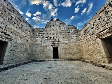
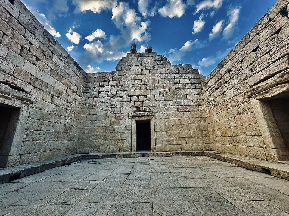
A French mission from the Louvre — Georges Salles and Roman Ghirshman — excavated here between 1935 and 1941, and ʿA.-A. Sarfarāz resumed the work from the 1960s, tracing the closely spaced towers of the north wall in 1969. What a visitor walks through now is the street plan, the wall line, and the sunken stone court of the temple usually identified with Anahita.
📸 Cover: the sunken stone court of the temple identified with Anahita, not the inscribed columns, Behnam9395, CC0 via Wikimedia Commons
changes?
delete this memory?
We detected that you have a Blox in your crypto wallet! We will import the Blox into your account.
Click on done below to complete the import.
Welcome Back!
Sign in to preserve cherished moments
Don't have an account?
Welcome!!
Sign up and start preserving cherished moments
?
?





Choose your payment method
Buy with Metablox Credit
Do you want to mint Blox with Metablox Credit?
Which Crypto would you like to use?
Purchase Confirmed!
Your Blox is being minted on-chain and will appear in your profile shortly.
Log in or sign up to claim your Blox.
How many credits do you want to buy?
$100 USD = 1 Metablox Credit = 1 Blox.
Use Metablox Credit to mint any Blox you want on the map.
 expand_more