


Military History | Montsec American Monument — The Monument That Had to Be Lowered
· 1932
Unreviewed contributionBy kevin · · Report an issue




























Find memories left by people near you.
Distribute Bounty
This will distribute the bounty equally among all qualifying memories. This action cannot be undone.
Cancel Bounty
Are you sure you want to cancel this bounty? The remaining amount will be refunded to your account.
Success!
Operation completed successfully.
Error
Something went wrong.
Military History | Montsec American Monument — The Monument That Had to Be Lowered
kevin
The American Battle Monuments Commission put models of three memorials in front of General John J. Pershing, and he did not like their proportions. The federal survey of the Montsec monument records his objection: their "relative size and impressiveness would not sufficiently indicate the importance of the operations they are to represent." The commission had already fixed the rule that would settle it. Scale was to follow the number of troops engaged — by the commission's own count 1,200,000 at Montfaucon, 600,000 at Montsec, 300,000 at Château-Thierry — so that no memorial could stand taller than a larger operation. Montsec was to be second, and second by a measurable margin. Major X. H. Price reported back that the General "is still not satisfied with Montsec. He does not feel as if it was lowered sufficiently."
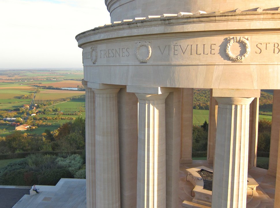
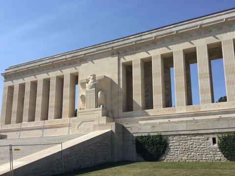
What went up on the Butte de Montsec between 1929 and 1932, the Monument américain de Montsec, is a low circular colonnade of Euville limestone designed by Egerton Swartwout, ringed on its frieze with the names of villages taken in 1918 and open in the middle to the sky. The hill beneath it had been a German observation position from 1914 until the reduction of the Saint-Mihiel salient (the saillant de Saint-Mihiel), which the United States First Army opened on 12 September 1918. It was dedicated on 2 August 1937, before some six thousand people from the surrounding communes who had walked up to the hill.
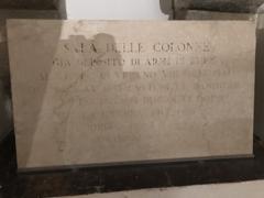
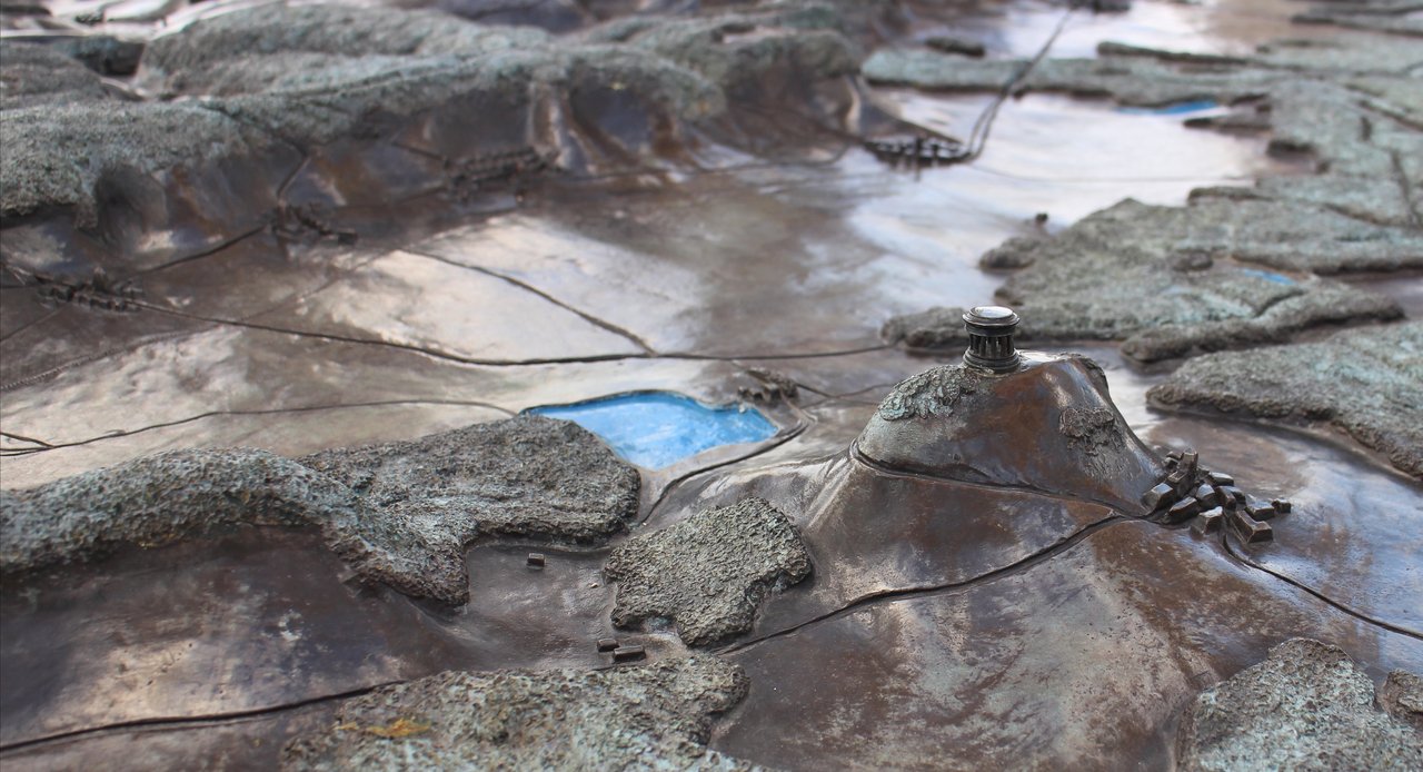
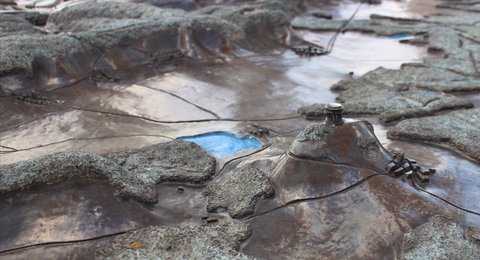
A bronze relief map of the salient fills the centre of the floor. Weather has turned its woods green and its water dark, and near one edge the butte appears again in bronze with the monument modelled on its summit, the whole argument about height rendered at map scale. On piers at the rear, an inscription cut in 1948 in English and French explains that the damage repaired after the Second World War was done by American fire.
📸 Cover: Andre Corso (User:MacPopop), CC BY-SA 4.0, via Wikimedia Commons — the monument's bronze relief map of the Saint-Mihiel salient, with the Butte de Montsec and the monument itself modelled near one edge. Second image: same photographer and licence, the Doric colonnade and the frieze of village names above the plain.
changes?
delete this memory?
We detected that you have a Blox in your crypto wallet! We will import the Blox into your account.
Click on done below to complete the import.
Welcome Back!
Sign in to preserve cherished moments
Don't have an account?
Welcome!!
Sign up and start preserving cherished moments
?
?
Choose your payment method
Buy with Metablox Credit
Do you want to mint Blox with Metablox Credit?
Which Crypto would you like to use?
Purchase Confirmed!
Your Blox is being minted on-chain and will appear in your profile shortly.
Log in or sign up to claim your Blox.
How many credits do you want to buy?
$100 USD = 1 Metablox Credit = 1 Blox.
Use Metablox Credit to mint any Blox you want on the map.
 expand_more